|
While our images are electronically watermarked, the antique prints themselves are not.
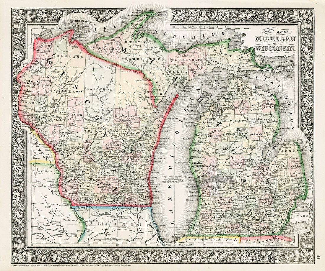
Michigan and Wisconsin MTC23 $75
Each print measures
approximately 12 1/4 inches by 15 1/4 inches
Samuel Augustus Mitchell (1792-1864) was a teacher early on, who became dissatisfied with the quality of textbooks available. Moving to Philadelphia, an important center of publishing at the time, he issued A New American Atlas with J.H. Young, his principal engraver. An early adopter of steel plate engraving, his company grew to dominate map publishing of the mid 1800’s. Historically, it was an important time for America, as the Civil War came to a close and the work of uniting the country proceeded along with expansion to the West and continued economic growth. Thus, it was a time of great change for cartographers.
We are pleased to offer hand colored maps from Mitchell’s New General Atlas, 1865. Each print map measures 12 1/4 inches by 15 1/4 inches, with four double maps measuring 23 1/2 inches by 15 1/4 inches. The condition is excellent, with the hand coloring bright and strong, and very little age toning. On a few, there are marginal fox marks, as shown.
We accept credit cards & PayPal. Florida state residents pay Florida state sales tax. Shipping for this item is $9.95. Items can be combined to save on postage. International shipping starts at $40, but may be more depending on the size of the prints and the country. Buyers are responsible for all customs duties. Our environment is smoke free. We pack professionally using only new materials. All items are beautifully wrapped and suitable for sending directly as gifts. You may return any item within 7 days if not satisfied. To order, you may call us at 1-888-PANTEEK, fax or email panteek@aol.com

PANTEEK is a registered trademark

  
|

