|
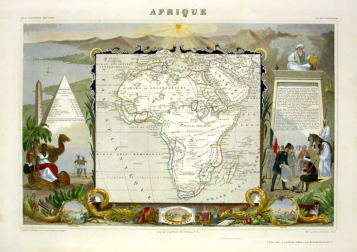
Africa LSR04 $550
Each print measures approximately 20 inches by
14 inches.
We are delighted to present these wonderful pictorial
maps from 1856 of departements of France and its colonies by Levasseur, a French engineer and geographer. Each
image provides a history of the county depicted with
accurate statistics for the mid-1800s. The maps display a series of vignettes relating to the region, including allegorical figures, famous places and persons, fauna and flora, topographical features, and indigenous peoples, all rich in charm and historical information.
Each lithograph is on thick wove paper measuring approximately 20" by 14", with superb detail and hand colouring.
We accept credit cards & PayPal. Washington state residents pay Washington
state sales tax. Shipping for this item is $12.95. Items can be combined to save
on postage. International shipping is $25 for any number of prints and buyers
are responsible for all customs duties. Our environment is smoke free. We pack
professionally using only new materials. All items are beautifully wrapped and
suitable for sending directly as gifts. You may return any item within 7 days if
not satisfied. To order, you may call us at 1-888-PANTEEK, or send email to
panteek@aol.com

  
|