|
While our images are electronically watermarked, the antique prints themselves are not.
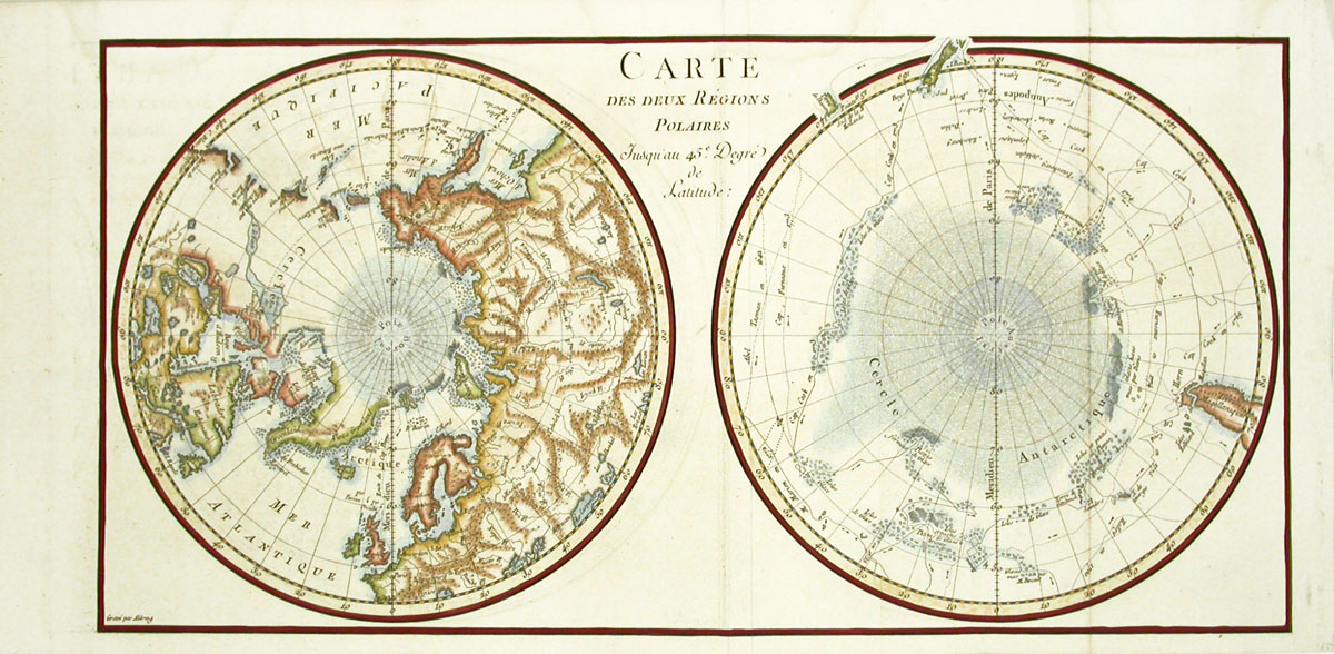
Carte des deux Regions Polaires MTM1 $165
Each print measures approximately 20 1/2
inches wide by 9 3/4 tall
This unusual map of the polar
regions was published before 1790, much like the
Middleton maps we are also offering. This print measures approximately
20 1/2 by 9 3/4 inches. The image, on soft white chain lined paper,
is superbly hand colored by our English colorists.
We accept credit cards, PayPal,
checks, and money orders. Washington state residents pay
Washington state sales tax.
Shipping for this item is $9.95. Items can be
combined to save on postage. Our environment is smoke
free. We pack professionally using only new materials.
All items are beautifully wrapped and suitable for
sending directly as gifts. You may return any item
within 7 days if not satisfied. To order, you may call
us at 1-888-PANTEEK, email, or fax.

  
|